Nandail Upazila
নান্দাইল উপজেলা · Mymensingh District, Mymensingh Division
- Population 2022
- 421,279 #81 of 493 · #7 in Mymensingh
- Area
- 326.1km² #157 nationally
- Density
- 1,292/km² #142
- Unions
- 13 recorded in Wikidata
Nandail is an upazila of Mymensingh District in Mymensingh Division. The 2022 census counted 421,279 people here, 7.1% of the district’s population.
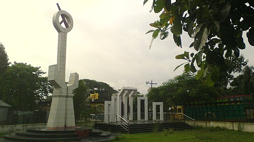
13 union parishads
Rural councils of Nandail as recorded in Wikidata, with Bengali names.
Achargaonআচারগাঁও
খারুয়া
গাংগাইল
চণ্ডীপাশা
চর বেতাগৈর
জাহাঙ্গীরপুর
নান্দাইল
বীর বেতাগৈর
মুশুল্লী
মোয়াজ্জেমপুর
রাজগাতী
শেরপুর
সিংরইল
Population: BBS Population and Housing Census 2022 via Wikidata. Area and union list: Wikidata (CC0). Distances are straight lines between centres.