Kendua Upazila
কেন্দুয়া উপজেলা · Netrokona District, Mymensingh Division
- Population 2022
- 316,976 #180 of 493 · #3 in Netrokona
- Area
- 303.6km² #191 nationally
- Density
- 1,044/km² district 827
- Unions
- 15 recorded in Wikidata
Kendua is an upazila of Netrokona District in Mymensingh Division. The 2022 census counted 316,976 people here, 13.6% of the district’s population. At 1,044 people per km² it is more crowded than the district as a whole (827).
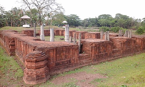
15 union parishads
Rural councils of Kendua as recorded in Wikidata, with Bengali names.
আশুজিয়া
কান্দিউড়া
গড়াডোবা
গণ্ডা
চিরাং
দলপা
নওপাড়া
নোয়াপাড়া
পাইকুড়া
বলাইশিমুল
মাসকা
মুজাফফরপুর
মোজাফরপুর
রোয়াইলবাড়ী আমতলা
সান্দিকোণা
Population: BBS Population and Housing Census 2022 via Wikidata. Area and union list: Wikidata (CC0). Distances are straight lines between centres.